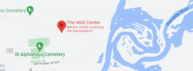
The Wild Center is currently closed in April for exhibit installation.
Spring Hours (May 3 to May 24): Open Friday, Saturday, and Sunday, 10 am to 5 pm.
Summer Hours (Memorial Day to Indigenous Peoples' Day): Open daily, 10 am to 5 pm
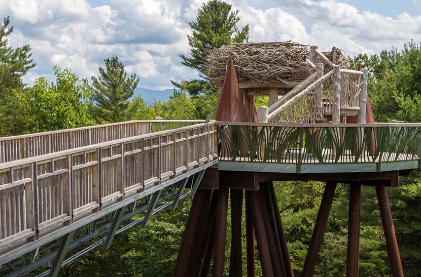
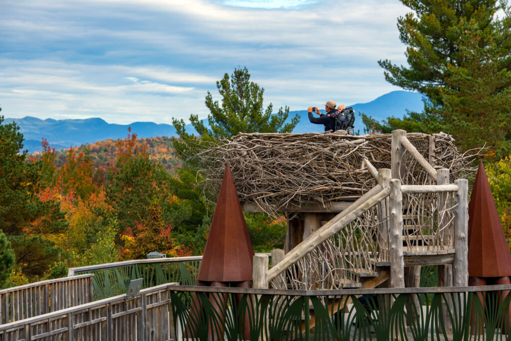
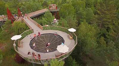
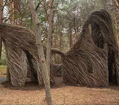
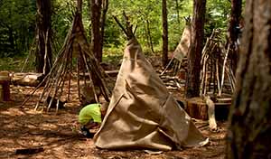
Find new ways to connect with nature through experiences like Wild Walk, Climate Solutions, Forest Music, Patrick Dougherty’s Stickwork, Birdly, and get to know some of the Adirondack animal ambassadors that call The Wild Center home.
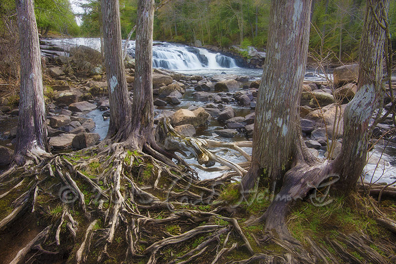
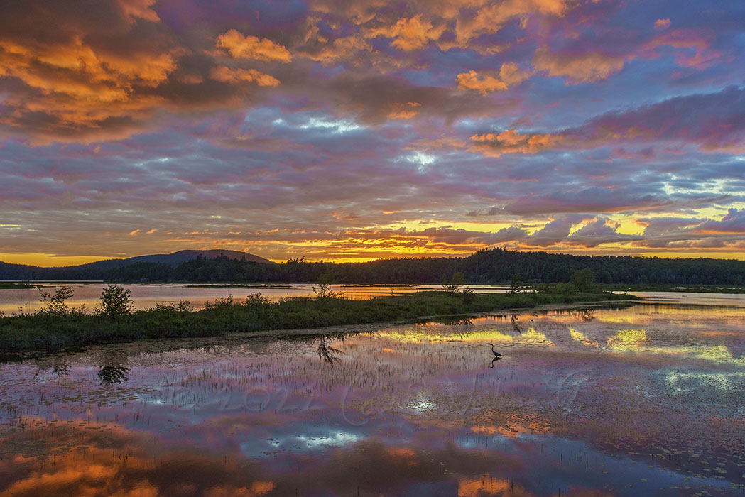
We are committed to a future where people and the natural world thrive together. We invite you to discover the story of the Adirondacks, and to explore new ways that people and nature can thrive in the same place.
Cost: $180 non-members; $155 members Limited to 8 Participants Come and enjoy the diversity of spring landscape photography along the beautiful lakes...
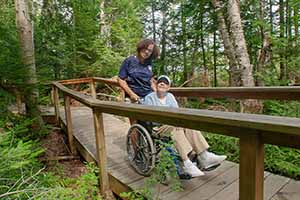
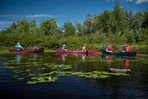
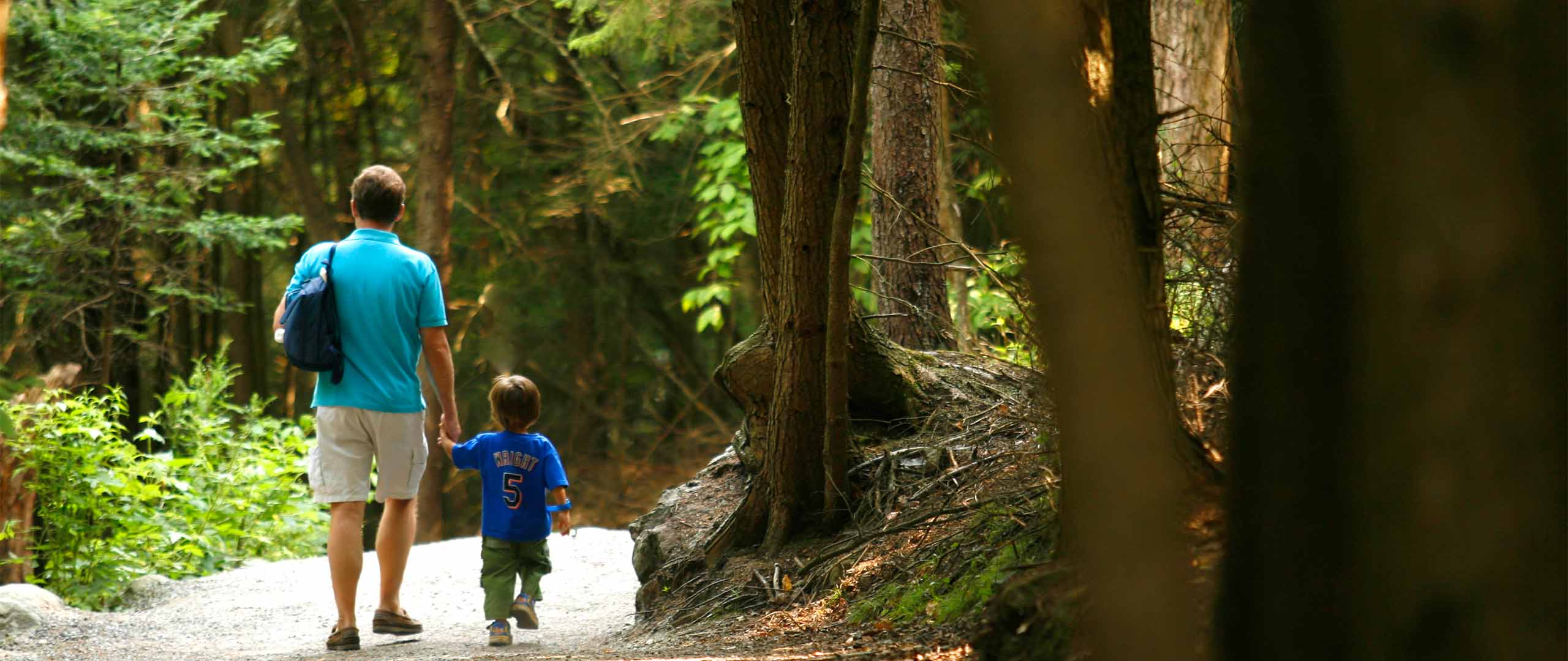
Walk woodland trails, head to the river to canoe with a guide, explore Wild Walk, or discover the magic of the Pines Play Area, a wild playground in the forest where children can connect to their inner Huck Finn. There are 115 acres to explore.
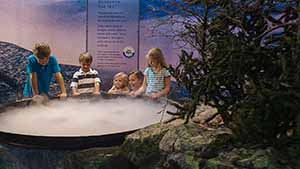
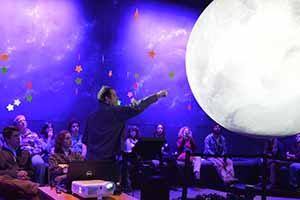
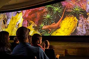
Explore 54,000-square-feet of exhibit halls, meet one of our many animals at an animal encounter, join us for a live show, or watch one of many amazing films.
Our supporters are the most important asset we have at The Wild Center. It is people like you, dedicated to increasing the connections between mankind and the natural world, that help to ensure a healthier future for all of us. Thank you for everything you do to keep The Wild Center a vital resource for the world.